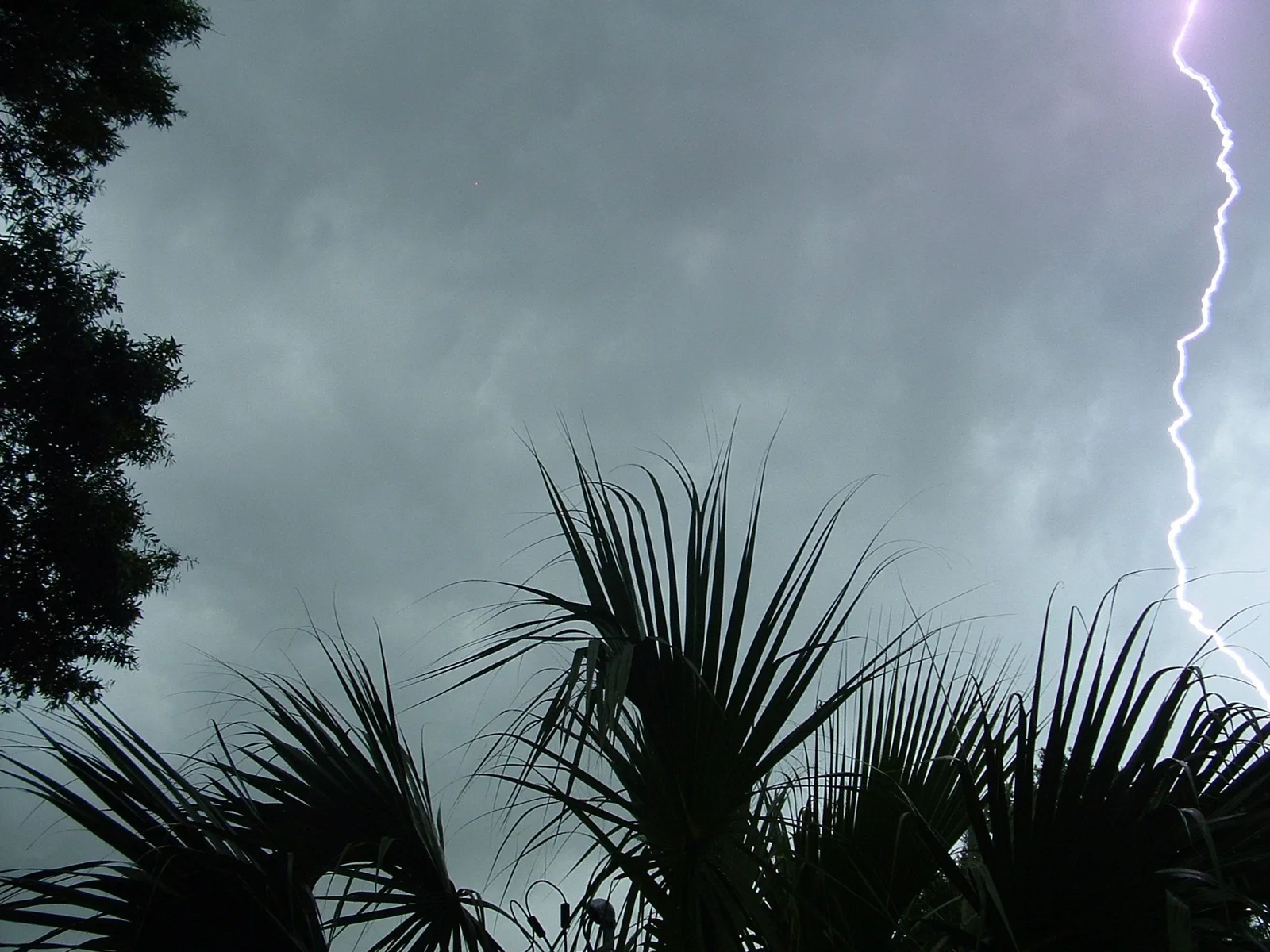
What is happening
SMWCRP The National Weather Service in Corpus Christi has issued a * Special Marine Warning for... Waters from Baffin Bay to Port Aransas from 20 to 60 NM... Waters from Port Aransas to Matagorda Ship Channel from 20 to 60 NM... * Until 1230 AM CST. * At 1126 PM CST, severe thunderstorms capable of producing waterspouts were located along a line from 45 NM south of Port Oconnor to 35 NM southeast of Port Aransas, or along a line from 42 NM east of Port Aransas to 35 NM southeast of Port Aransas, moving southeast at 15 knots. HAZARD...Waterspouts and wind gusts to 34 knots. SOURCE...Radar indicated. IMPACT...Waterspouts can easily overturn boats and create locally hazardous seas. Small craft could be damaged in briefly higher winds and suddenly higher waves. * Locations impacted include... Mainly open waters from Baffin Bay to Port Aransas from 20 to 60 NM and Waters from Port Aransas to Matagorda Ship Channel from 20 to 60 NM.
Official instructions
Move to safe harbor until hazardous weather passes.