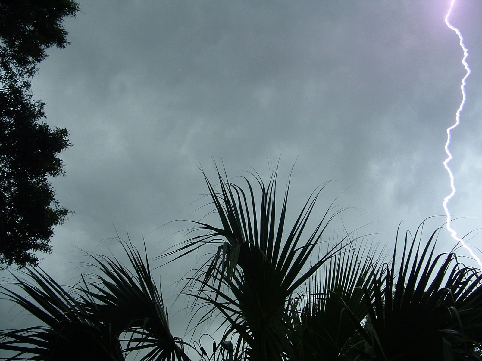
What is happening
At 301 PM EST, Doppler radar was tracking a strong thunderstorm capable of producing a landspout near Cypress Creek, or 11 miles west of Half Moon, moving east at 20 mph. HAZARD...Landspouts and wind gusts up to 40 mph. SOURCE...Radar indicated. IMPACT...Minor damage to outdoor objects is possible. Gusty winds could knock down tree limbs and blow around unsecured objects. Locations impacted include... Jacksonville, New River Station, Half Moon, Pumpkin Center, Richlands, Cypress Creek, Midway Park, Catherine Lake, Albert J Ellis Airport, Richlands South, Lyman, and Haws Run.
Official instructions
If outdoors, consider seeking shelter inside a building. Torrential rainfall is also occurring with this storm and may lead to localized flooding. Do not drive your vehicle through flooded roadways. This storm may intensify, so be certain to monitor local radio stations and available television stations for additional information and possible warnings from the National Weather Service.