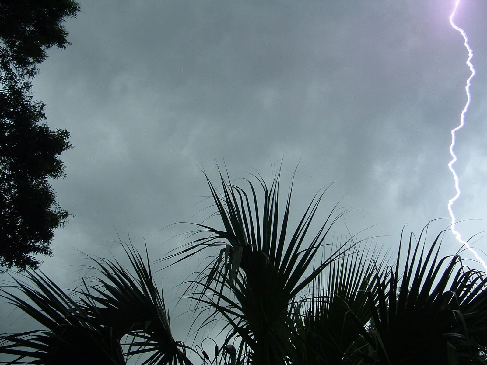
What is happening
* WHAT...Flooding caused by excessive rainfall continues to be possible. * WHERE...A portion of east central Florida, including the following areas, Indian River, Martin, Saint Lucie, Volusia, Okeechobee and Brevard. * WHEN...Through Tuesday morning. * IMPACTS...Excessive runoff may result in flooding of rivers, creeks, streams, and other low-lying and flood-prone locations. Creeks and streams may rise out of their banks. Flooding may occur in poor drainage and urban areas. * ADDITIONAL DETAILS... - Heavy to extreme rainfall has occurred over coastal portions of east central Florida today. Any additional rainfall overnight may exacerbate ongoing flooding. - http://www.weather.gov/safety/flood
Official instructions
You should monitor later forecasts and be alert for possible Flood Warnings. Those living in areas prone to flooding should be prepared to take action should flooding develop.